
Read Marion County Parcel Map Layers
The WV Property Viewer maps Marion County parcels statewide. It pairs parcel polygons with address labels. Property details, roads, imagery, topography, flood data, building fields, cost and appraised values, and delinquent lands all layer onto the same view. The layer table splits map context from parcel attributes, each answering a different question.
| Layer | What It Shows | Use |
|---|---|---|
| Parcel and address | Tax parcel polygons and E-911 address points | Match a site to a GIS ID |
| Roads and imagery | Road context, aerial views, terrain | Orient the parcel on the map |
| Owner and property detail | Owner display, legal description, class, values | Cross-check the assessor card |
| Flood information | Flood-hazard context | Flag further review, not a final determination |
| Delinquent lands | State delinquency layer, updated weekly per viewer help | Find records for tax-sale research |
Cross-check the GIS ID and legal description. Then compare the same tract in the Marion County Assessor card and the Sheriff's tax inquiry. The map offers CSV export and a KMZ download for a selected parcel. Official transfers and plats come from the County Clerk.
Locate a Marion County Parcel by Address
The viewer accepts an E-911 physical street address, parcel attributes, or map geometry and coordinates. Rural routes and P.O. boxes do not work as search inputs. Zoom in first. Parcel boundaries appear only at a close scale. Once the boundary is visible, click it. One or more GIS IDs appear, and the detail panel opens.
- Enter the E-911 address, or use the parcel search with district, map, parcel, and suffix.
- Zoom until parcel polygons appear, then select the subject parcel and copy its GIS ID.
- Check the detail panel for owner, physical address, legal description, E-911 address, and values.
- Use the county Assessor and Clerk records to confirm ownership, deed references, and recorded plats.
- Parcel number
- The district/map/parcel/suffix tax identifier used to join records.
- Plat
- A recorded map showing lots, streets, or a subdivision.
- Lot and block
- A land description that names a platted lot and block.
- Metes and bounds
- A description using boundary calls, distances, monuments, and adjoining tracts.
Marion County Viewer Search Modes
Search modes include E-911 address, owner, whole or component parcel ID, geometry, and coordinate entry. Tools go further. The viewer adds a buffer control, highlight and zoom-to-parcel tools, a detail panel, a shareable link, CSV export, and KMZ download. Boundaries show at roughly 1:18,056 scale. The WV Property Viewer map displays the statewide parcel environment serving Marion County.
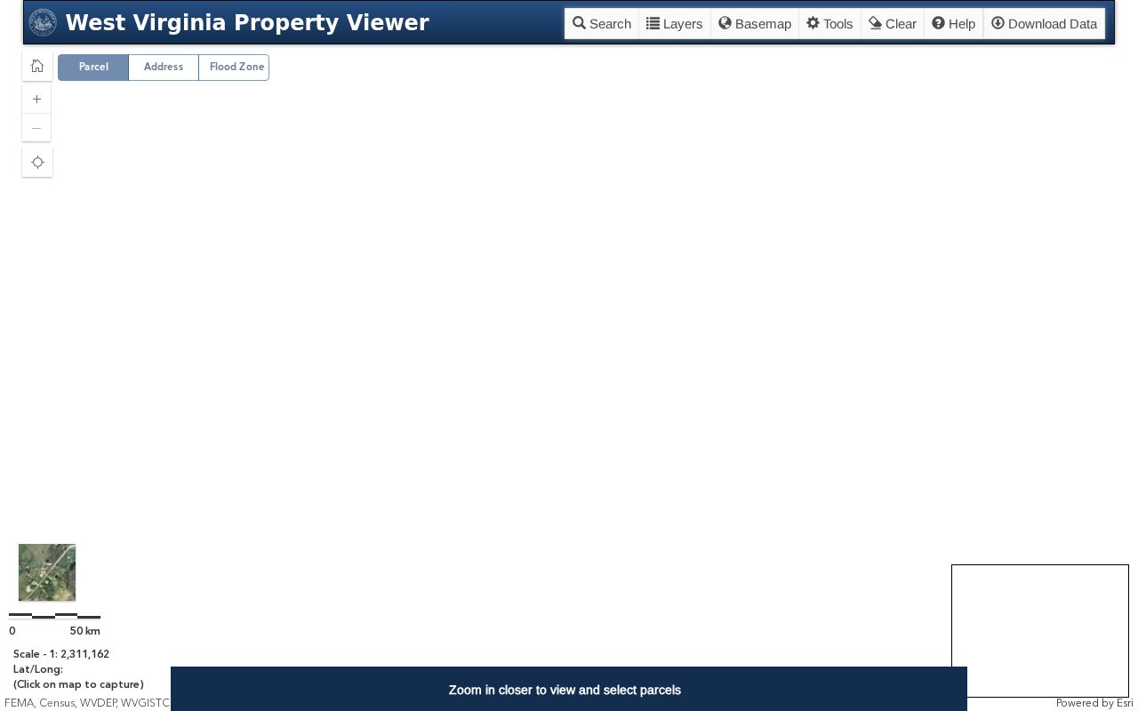
Click a visible parcel to inspect its GIS ID. Check the detail panel against the Assessor card. The desktop Property Viewer lays out the same parcel detail and map controls at full width before you treat the match as the right tract.
The field panel helps identify the land. Deed and plat records from the County Clerk remain the source for filed instruments, so confirm any filed document there.
Marion County IAS Parcel Format
A statewide parcel ID pairs a two-digit district with four-digit map, parcel, and suffix fields. Keep the leading zeroes. Statewide data can also carry a special parcel segment, a root ID, owner one and owner two, legal description lines, acreage, deed book and page, plus owner mailing and physical parcel addresses. The field specification splits OwnAddr mailing fields from Address and City. Address holds the physical land. That split explains why a Marion County tax card can show a mailing location outside the parcel's municipality. Copy the full identifier from the Assessor. Never infer the suffix from a map view.
Marion County GIS Data Downloads
SB 588 lets digital surface tax maps and GIS files be downloaded free from an authorized state clearinghouse. No fee applies. The Property Viewer credits county assessors with geometry and property attributes. The Tax Division builds the annual master file. Fresh changes travel slowly. A recent split, merger, annexation, or re-parceling may lag until the county submits an update and the state processes it. The statewide statement does not prove a particular Marion County file is posted today. Check the clearinghouse for the current list.
Recorded Marion County Plats and GIS Lines
The County Clerk records plat maps. That office counts plats among its recorded land categories, and the official copy carries the recorded lot, block, and street layout. Fairmont Planning reviews city subdivisions and mergers. It also manages city GIS mapping. The viewer gives visual context, while the Clerk's plat and the city approval file document different steps in the land's history. A lot-and-block description names a subdivision and lot. Rural descriptions use courses, distances, and monuments. Mineral reservations, easements, roads, and streams can shape the land beyond what a surface polygon suggests. Search the plat title and deed reference alongside the parcel map whenever the description changes.
Marion County Parcel Changes and Edge Lines
Street address, ZIP, city boundary, tax district, and GIS parcel are separate geographies. A Fairmont mailing label proves nothing about city limits. The state directory lists Fairmont, Pleasant Valley, Mannington, and other municipalities within Marion County. Rural communities also use familiar postal places. Edge parcels need extra care. Compare the polygon, E-911 point, municipal zoning map, legal description, and current plat before drawing conclusions. If the map lags a recent split or merger, ask the Assessor about the update. Get the recorded document from the Clerk.
Read Marion County Map Scale and Parcel Edges Carefully
The statewide viewer draws parcel boundaries at roughly a 1:18,056 map scale. That works for seeing how a Marion County tract sits beside roads and neighboring parcels. A screen line is not a boundary survey, though. Zoom level, layer visibility, imagery alignment, and later parcel updates can all shift what the map seems to show. A true boundary question belongs with the deed, the filed plat, and a survey prepared for the land. Adjoining parcels sometimes overlap or leave a gap on the tax map. Write down both full parcel IDs. Then compare the legal descriptions and recorded plats. If the depiction or account is wrong, ask the Assessor about a tax-map correction. The Assessor handles assessment corrections, while the original conveyance or plat stays with the Clerk, and the map identifies which records to compare without altering them.
The viewer's search choices answer different clues. An E-911 site address points to a location. Coordinates do the same. An owner search locates a displayed name, and a parcel ID can be typed whole or by its component parts. Rural routes and post-office boxes describe mail delivery, not a mapped point. Use the property's physical address instead. The district, map, and parcel numbers work too. Once a feature opens, compare the owner, physical address, community, class, legal description, flood information, structures, and any cost or appraised values on display. Each field carries its own meaning. Some fields run blank or generalized. A visible property line does not make every listed value a current appraisal.
The share URL and the CSV or KMZ exports can save a working view for later. Keep the export with its date and parcel ID. The viewer may show data from a different update point than the county tax card. A KMZ lets you inspect the feature in mapping software, while a CSV holds tabular fields for comparison. Neither one makes the tax layer an official survey. If the polygon is reshaped later, return to the Clerk's recorded plat and the county's correction route to learn which source changed. Layer controls help too. They separate the parcel outline from roads, imagery, and other map context, so turn on only what your location question needs. Note which layer was visible when a boundary or flood feature caught your eye.
Rural addresses need care. Search by the site location. The county's full parcel ID works too. An E-911 search may point to a road entrance while the parcel extends behind it. Zoom to the full shape. Compare the neighboring tax-map units. A street point marks an address location, not the building footprint or parcel boundary. Get a recorded survey for a precise line, and contact the Assessor if the county tax-map depiction itself needs correction. Sometimes the card, the viewer, and the deed disagree. Check what each record represents first. The GIS layer is a statewide parcel reference. The county card is the assessment account. The deed or plat is the recorded land description, and a split or merger may show up in one source before another. County staff can explain a tax-map correction. The Clerk can locate the instrument that created the change. A map screenshot is useful context to attach to a request, but it is no substitute for the official record.
Limits of Marion County Parcel Maps
The viewer sends parcel-data errors to the local Assessor. These lines are tax geometry, not a legal survey. Polygons may be generalized or stacked, lag after a lot split, or change only after county submission and state processing.
Not a survey. Use the GIS line to find the parcel, then rely on the recorded plat and a licensed surveyor when a legal boundary must be set. The map alone does not establish a shared line.