
Search Fairmont Property Records
Start with the street address. Pull up the parcel in the Marion County Assessor search. Copy everything the card gives you: owner, account, map and parcel number, legal description, and the deed book and page. Those keys unlock the rest. The County Clerk's deed index proves a transfer was recorded. The Sheriff's tax inquiry tracks the account's tax bill. For parcel shape, the WV Property Viewer displays the GIS map boundaries. Fairmont Planning & Development adds its own layer of city zoning, subdivision, and building review records. Each source sits with a different custodian.
- Search the Marion County Assessor by Fairmont address, owner name, account, or parcel.
- Copy the parcel card’s legal description and deed book/page for the County Clerk.
- Check the Sheriff Tax Office inquiry with the account or district/map/parcel.
- Open the same tract in the WV Property Viewer and verify the address and map ID.
- Use Fairmont Planning for zoning, subdivision, and permit files tied to that parcel.
The county property-search route explains how those shared record keys work across offices. Fairmont's real advantage is the municipal layer. A city review file can explain a use, addition, variance, or lot change that the county assessment card never shows.
Custodians for Fairmont Property Records
Land ownership and assessment live in Marion County records. The Assessor card and the County Clerk deed records trace the parcel's tax and title history. The Sheriff account carries tax status. The state viewer supplies the GIS map context. Fairmont Planning & Development keeps a separate set of municipal records. It manages city zoning compliance, planning review, subdivision and merger actions, and local mapping. A planning file adds land-use context. But it never replaces a recorded deed as proof of who holds title.
Marion County Record Custodians
Assessor: 200 Jackson Street, Fairmont; 304-367-5410. County Clerk: 219 Adams Street; 304-367-5445. The Sheriff has a separate tax inquiry.
Fairmont Planning & Development
200 Jackson Street, third floor, Room 305
Fairmont, WV 26554
304-366-6211, extension 312
Fairmont's Recorded History Starts Before Its Current Name
Fairmont began in 1820 as Middleton. It incorporated as Fairmont borough in 1843. Marion County was formed in 1842. So the county seat and the growing town grew up in overlapping periods of change. That timeline matters when you read old descriptions. A record may carry a historic place name. It may also carry an early street description, or a legal description older than today's address. A modern Fairmont mailing line cannot translate an old lot reference. It cannot turn that reference into a current parcel number.
For a chain of ownership, start with the deed book and page. Those details sit on the Assessor card. Then work backward through the Clerk's grantor and grantee references toward earlier conveyances. The historic catalog lists Marion deeds beginning in 1842. That archival range says nothing about how far the online index or its images reach. If the online sequence stops, ask the Clerk how to keep going. The Clerk can guide you through the older index volumes. Request the deed you need by book and page.
Fairmont Planning Files Explain City Land Use
Zoning questions inside the city limits start with Fairmont Planning & Development. The office handles zoning administration. It manages the city GIS work too. Subdivisions and lot mergers go through its review as well. It also takes in permit-related applications of nearly every kind. The menu covers map and text amendments, conditional uses, variances, site plans, and minor subdivisions. Building and zoning review, sign permits, and certificates of appropriateness flow through the same counter.
These planning files show whether a lot action cleared city review. That sets them apart from the County Clerk's recorded instruments and the Assessor's tax account. The city's Planning & Development page lists current forms. Contact instructions appear there as well: open Fairmont Planning & Development.
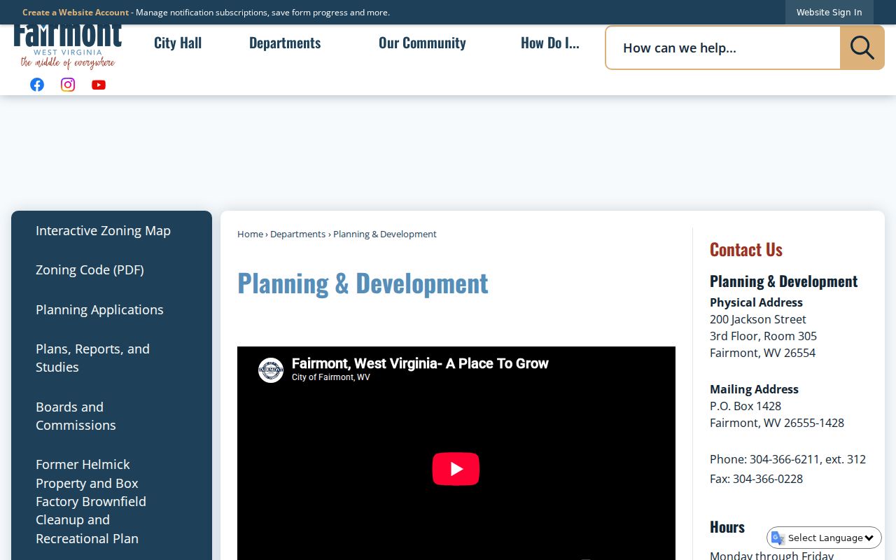
The image shows the city's official planning page. Check filing details with Fairmont before relying on any older copy.
Fairmont Neighborhoods in Parcel Records
Marion County publishes no full register of Fairmont subdivisions. There is no city plat-book index or parcel-prefix schedule either. Treat the neighborhood names here as handy search lenses, nothing more. None of them is a confirmed subdivision name or a dated development. To pin down a boundary or trace a lot's history, match the city-area label against the County Clerk's recorded plat and the county parcel ID.
| Neighborhood / Subdivision | Era | In the Records |
|---|---|---|
| East Side and downtown (area lens) | Era not verified | Check older lot/block descriptions, street names, and directories |
| Pleasant Valley edge (area lens) | Era not verified | Verify the separate municipal boundary and county parcel |
| Country Club / Palatine area | Plat dates not located | Use the plat title and county map/parcel; do not infer a prefix |
| South Fairmont and White Hall edge | Subdivision eras not located | Compare the GIS polygon with the city zoning map |
A deed or city application may cite a subdivision or a specific lot. Start with the County Clerk's plat category in that case. Then compare the lot and block details against the Assessor's legal description. The Marion County parcel map helps you locate the tax parcel. The recorded plat still controls the subdivision layout.
Fairmont's Application Forms Preserve Review Details
Each Fairmont zoning application tells a story. Beyond the parcel address, the form captures an application number, review fee, hearing date, received date, and receipt number. It also lists owner contact information, agent details, and the person designated to receive correspondence. The property address, tax map and parcel, present and proposed zoning, the reason for the request, current and proposed use, and authorization round out the record.
Want to ask staff about a specific project? Give them the address and the tax map/parcel. Ask whether an application number or hearing date exists.
A filled application is evidence of a request and its stated purpose, nothing more. It does not prove approval or completion. Follow the review through any decision, permit, or final inspection record the city keeps, and check whether a related subdivision plat or deed was separately recorded with the County Clerk.
The official planning page displays the city's forms menu. View the Fairmont planning and application source for the current route.
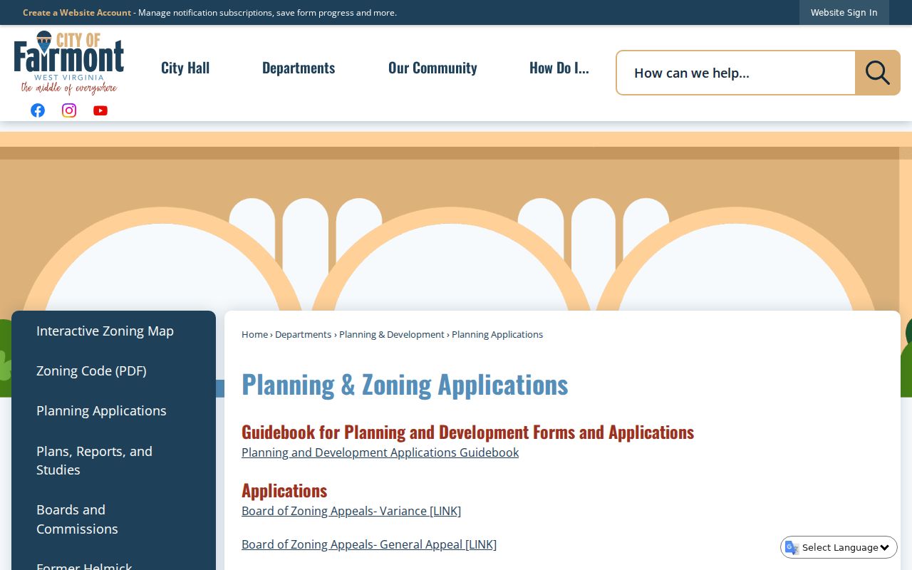
Confirm on the live city page which application applies.
Fairmont Review Fees and Hearing Timing Vary by Request
Fees vary by request type in Fairmont. The city schedule lists $40 for a minor subdivision. A major subdivision runs $80 plus $2 per lot. Conditional-use and variance requests are listed at $85. Zoning map or text amendments cost $300, and right-of-way abandonment is $500. Schedules can change. So ask Planning & Development for the current fee, submission count, and any notice requirements before filing.
For Board of Zoning Appeals matters, the appeal window is generally 30 days. Adjacent-owner notice and newspaper publication are generally required at least 15 days before a hearing. The regular Board meeting is listed for the first Thursday of each month. It takes place at the Public Safety Building, 500 Quincy Street. Confirm the calendar with the city. A missed filing date can change which process is open to you.
When you ask about an application, give the property address and tax map/parcel. Then ask whether the city can provide an application number, received date, receipt number, review fee, or hearing date. Ask about the received date. Ask about the receipt number, review fee, or hearing date too. Those fields appear in the city guidebook. They help you tell a filing from a later Board decision. If you need to know how a request ended, request the decision or permit record as well. An application alone documents a proposal, not approval or completed work.
Fairmont ZIP Codes Do Not Define the City Line
A Fairmont mailing address does not always mean Fairmont jurisdiction. ZIP codes 26554 and 26555 are postal conveniences, not boundary lines, and a parcel can carry a Fairmont label while sitting outside the city. Boundaries also wind near Pleasant Valley, Palatine, and White Hall, which adds to the confusion. So never read zoning authority from a mailing city alone.
The safer path is to match the parcel's mapped location against the city's own zoning and boundary information. Planning & Development can confirm whether a property sits inside Fairmont for the review at hand. For assessment and account details, the Marion County Assessor remains the authority. When a subdivision or boundary question arises, set the recorded plat and deed beside the mapped parcel. A web map helps, but it is no survey.
Fairmont Value Figures Need a Parcel-Level Date
Census counts put Fairmont's 2020 population at 18,416. A 2025 Census estimate places it at 18,035. The Bureau's owner-occupied home value estimate spans 2020–2024 and sits at $163,800. These community-level figures describe a broad period and population. They are not a sale price, current appraisal, or value for one specific house.
West Virginia reassesses every July 1. Assessment runs at 60 percent of true and actual value. Check the assessment year and category on the County Assessor card. Then compare the recorded sale history and property characteristics. The assessed figure can differ from a private-market offer. A community median cannot substitute for comparable nearby sales or a parcel inspection.
Match City Applications to the County Parcel Carefully
Fairmont applications may use a tax map and parcel number. Deeds often identify the same ground through a book and page. A deed may also cite a subdivision name, lot, block, or metes-and-bounds description. Keep each identifier with its source and date. If a lot was split or combined, the modern tax parcel can differ from the older deed description. County GIS updates may follow the recorded change rather than appear at the same time.
Use the Marion County parcel map to orient the parcel. Then confirm the legal description against the recorded deed or plat. Disagreements happen. If the city application and county card conflict, ask both custodians which version they hold. Ask also what event date each record reflects.
Limits of Fairmont Property Records
The county assessment card, deed, tax inquiry, and GIS layers each show different facts. Fairmont planning records document applications, zoning reviews, subdivision actions, and permit files. None proves clear title. None proves a surveyed boundary or a sale price. Mailing labels and city limits are separate geographies.
Lawful use. Use Fairmont records for property diligence, house history, and civic review. Do not use owner information to stalk, threaten, or harass anyone.